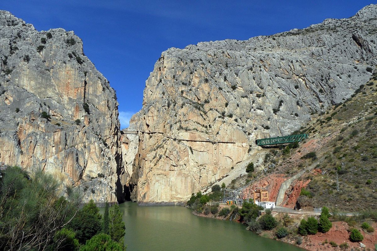
Photo: Falk2, CC BY-SA 4.0, Wikimedia Commons
Find your next trail in Spain
5,500 marked routes with danger notes and sources, from coast walks to high mountains.
Explore the map
Every dot is the start of a marked route. Open the map to filter, zoom and switch on flood zones or the wildfire forecast.
Routes to start with
Routes we checked by hand, with a photo from the route itself.
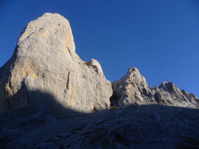 Hard (est.)AsturiasVega de Urriellu10.4 km5 h 20 min1,145 m up
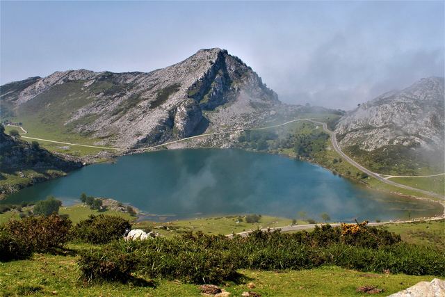 Moderate (est.)AsturiasLagos de Covadonga8.3 km3 h345 m up
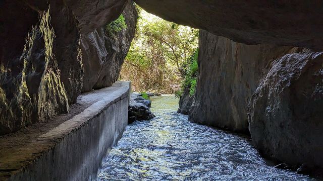 Moderate (est.)GranadaLos Cahorros de Monachil10.0 km3 h 40 min445 m up
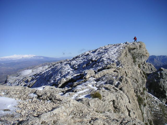 Hard (est.)MálagaEl Alcázar to La Maroma10.2 km5 h 20 min1,210 m up
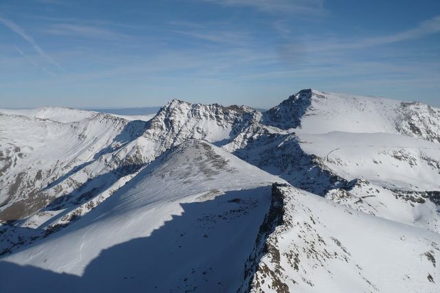 Hard (est.)GranadaMulhacén7.3 km3 h 50 min865 m up
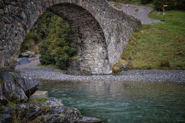 Easy (est.)HuescaBujaruelo valley3.3 km1 h55 m up
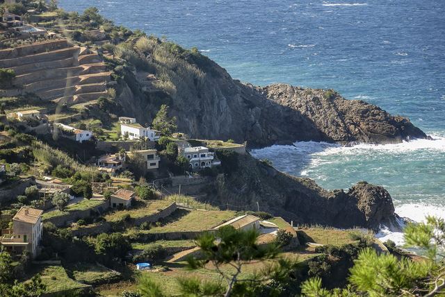 Hard (est.)Balearic IslandsGR 221 from Calvià to Estellencs18.5 km6 h 50 min835 m up
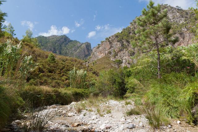 Moderate (est.)MálagaRío Chíllar7.4 km2 h 25 min300 m up
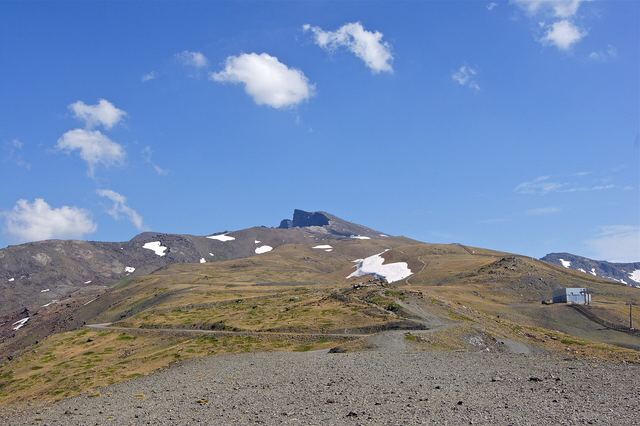 Hard (est.)GranadaPico Veleta5.2 km3 h 30 min860 m up
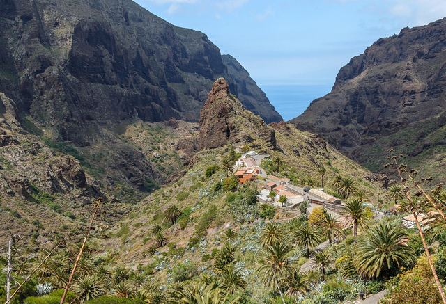 Easy (est.)Santa Cruz de TenerifeLas Portelas to Masca3.4 km1 h 40 min250 m up
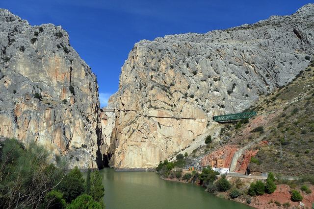 Easy (est.)MálagaCaminito del Rey3.3 km2 h295 m up
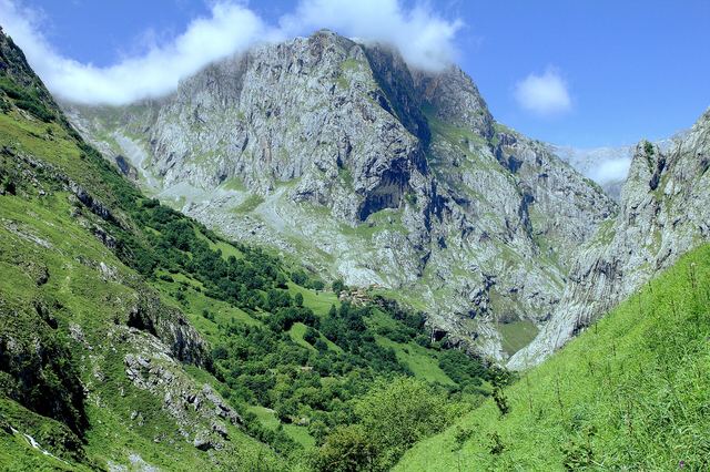 Hard (est.)AsturiasPoncebos to Bulnes and Sotres18.0 km8 h 30 min1,325 m up
Famous routes
Trails whose Wikidata entry is a hiking trail or a long distance path. See all famous routes
 Hard (est.)AlicanteGuardamar del Segura - Torrevieja (GR 92 E21)28.0 km7 h 15 min95 m up
 Hard (est.)HuescaSenda Pirenaica - E21 (GR 11)20.6 km8 h 45 min1,330 m up
 Hard (est.)HuescaÉtape 2113.6 km5 h 10 min280 m up
 Moderate (est.)ÁvilaSenda de la Laguna Grande (PR-AV 17)6.8 km2 h 35 min390 m upHard (est.)A CoruñaCamino Primitivo (alternativa norte)43.1 km12 h 05 min400 m upHard (est.)HuescaSenda Pirenaica - E29 (GR 11)37.6 km14 h 35 min1,725 m upHard (est.)NavarraSenda Pirenaica - E35 (GR 11)35.4 km12 h 25 min1,070 m upHard (est.)NavarraSenda Pirenaica - E32 (GR 11)34.9 km14 h 15 min1,885 m upHard (est.)BarcelonaEl Camí IT6TR7 El Camí Central: de Castelló de la Plana a Montserrat32.1 km11 h 25 min1,435 m upHard (est.)NavarraSenda Pirenaica - E37 (GR 11)31.6 km10 h 10 min850 m upHard (est.)BarcelonaGR 270 Camí del Llobregat - Etapa 631.2 km8 h 55 min395 m upHard (est.)GironaSenda Pirenaica - E11 (GR 11)29.8 km10 h 15 min1,040 m upHard (est.)LleidaSenda Pirenaica - E18 (GR 11)28.6 km11 h 25 min1,910 m upHard (est.)TarragonaCatalunya E26 (GR 92)28.6 km7 h 25 min100 m up
Browse by province
Provinces with photos from the routes in them.
Hiking by province
A Coruña78Albacete84Alicante86Almería124Asturias232Badajoz50Balearic Islands45Barcelona370Bizkaia72Burgos171Cantabria42Castellón72Ceuta6Ciudad Real81Cuenca102Cáceres108Cádiz34Córdoba7Gipuzkoa184Girona269Granada301Guadalajara39Huelva40Huesca245Jaén134La Rioja12Las Palmas130León63Lleida331Lugo45Madrid183Murcia85Málaga232Navarra175Ourense34Palencia21Pontevedra75Salamanca50Santa Cruz de Tenerife320Segovia10Sevilla7Soria40Tarragona162Teruel83Toledo73Valencia106Valladolid65Zamora47Zaragoza53Álava86Ávila36
Use at your own risk
Information only. Conditions change, the data can be wrong, and you are responsible for your own safety. Check the official bulletins on the day, tell someone your route and call 112 in an emergency.
Read the full notice